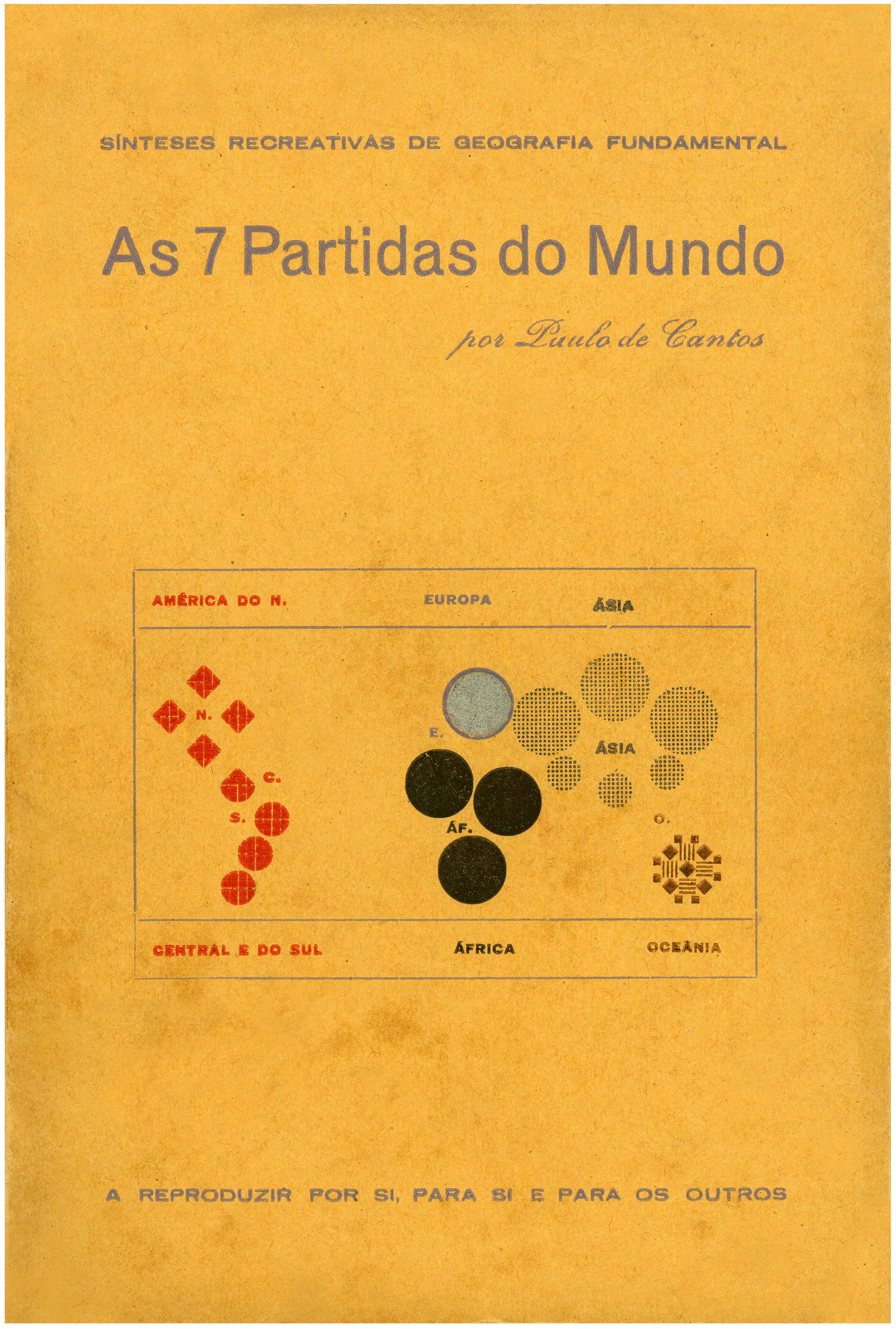
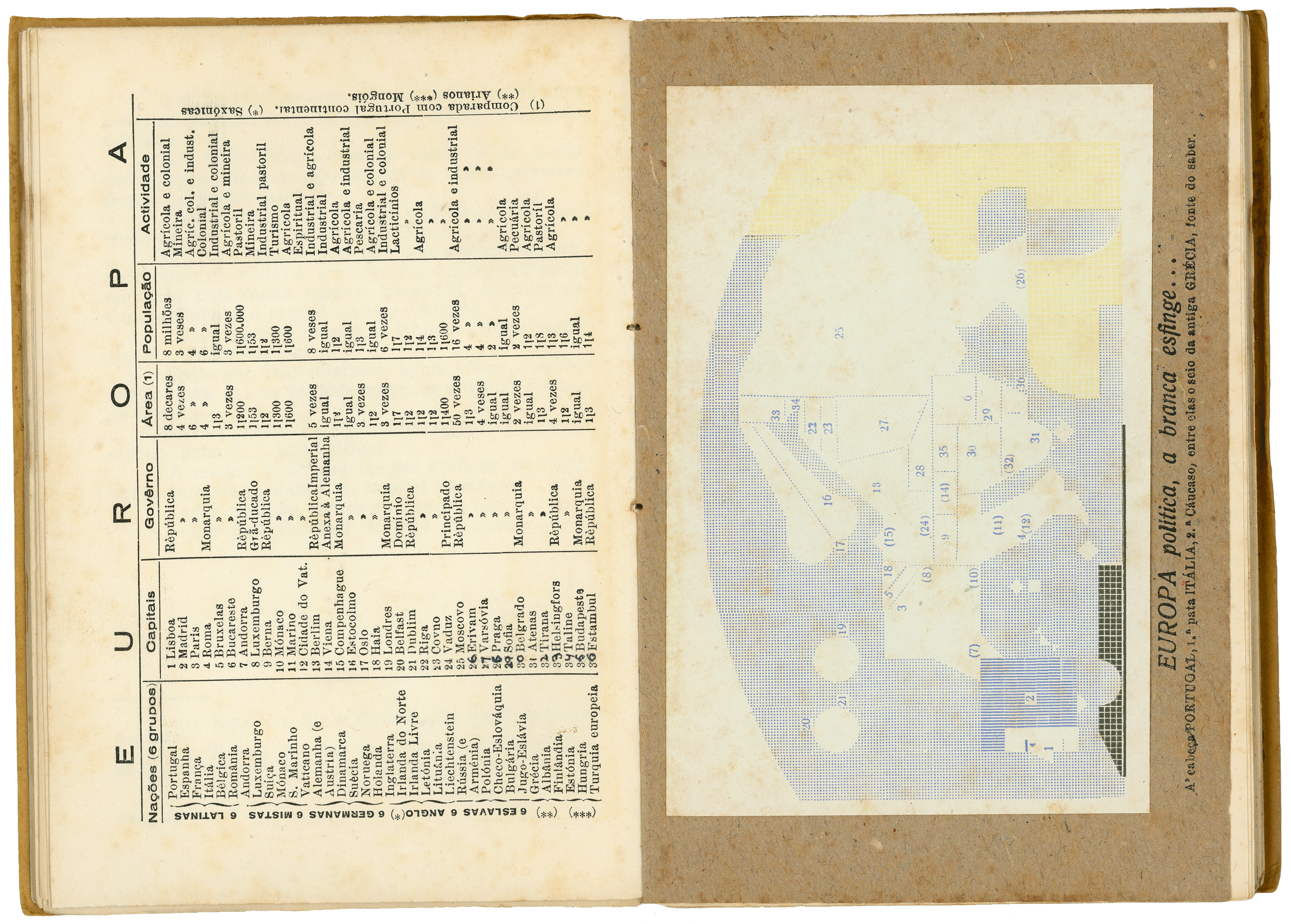
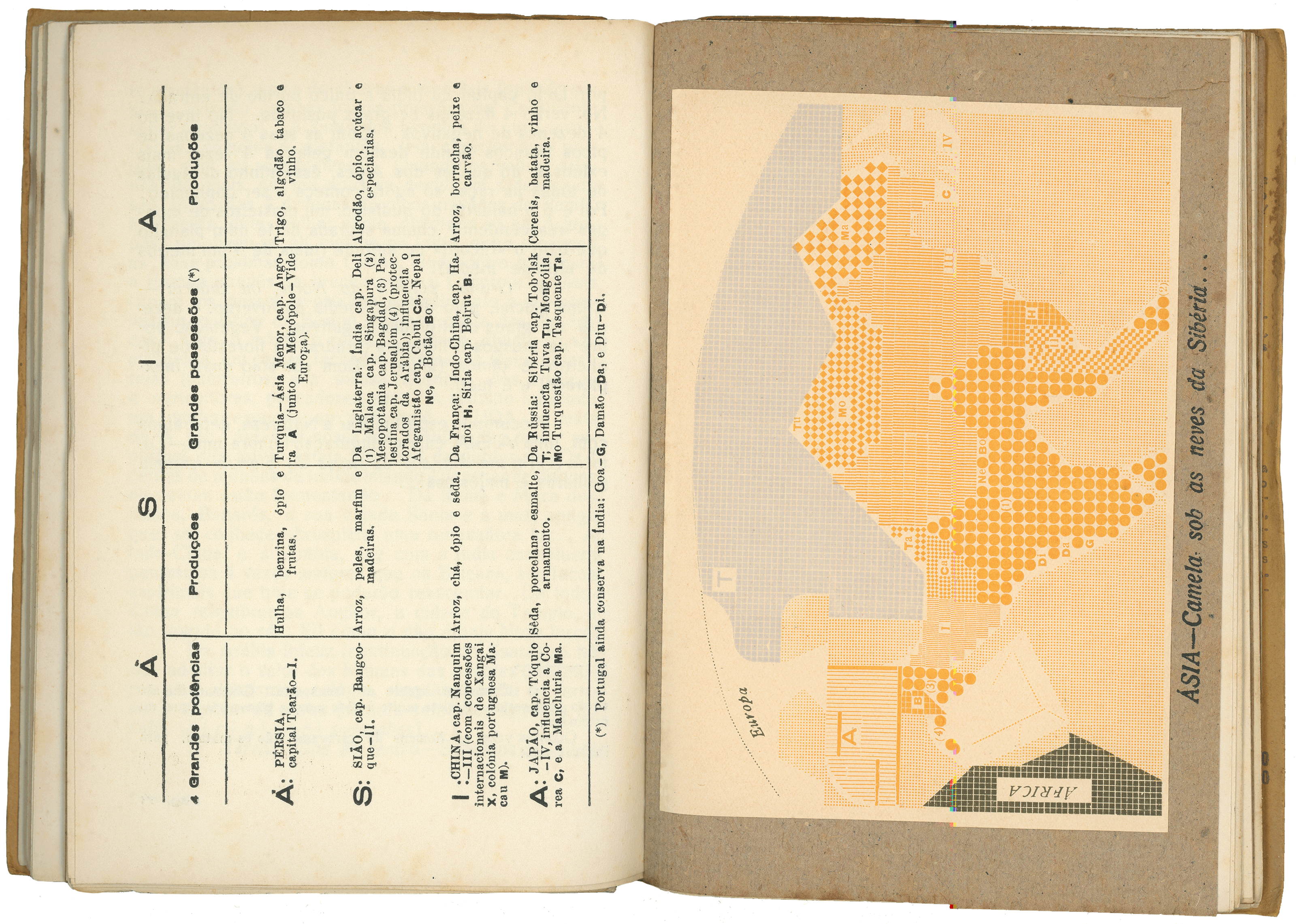
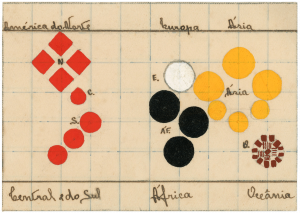
A geography textbook to aid classroom learning and parietal frameworks (created by the author). Each continent has two maps, two texts and two tables: one on the history and geography (the land) and the other on the achievements of man and the countries. The illustrated maps are a type of typographical zoomorphism of the countries, comprising borders and stripes and printed on paper in different colour for each continent.
Author:
Paulo de Cantos
Year:
1938
Publishing house:
Sociedade Gráfica da Póvoa Lda
Print shop:
Póvoa de Varzim
Format (cm):
11,6 x 17,5
Materials:
Paper
Price:
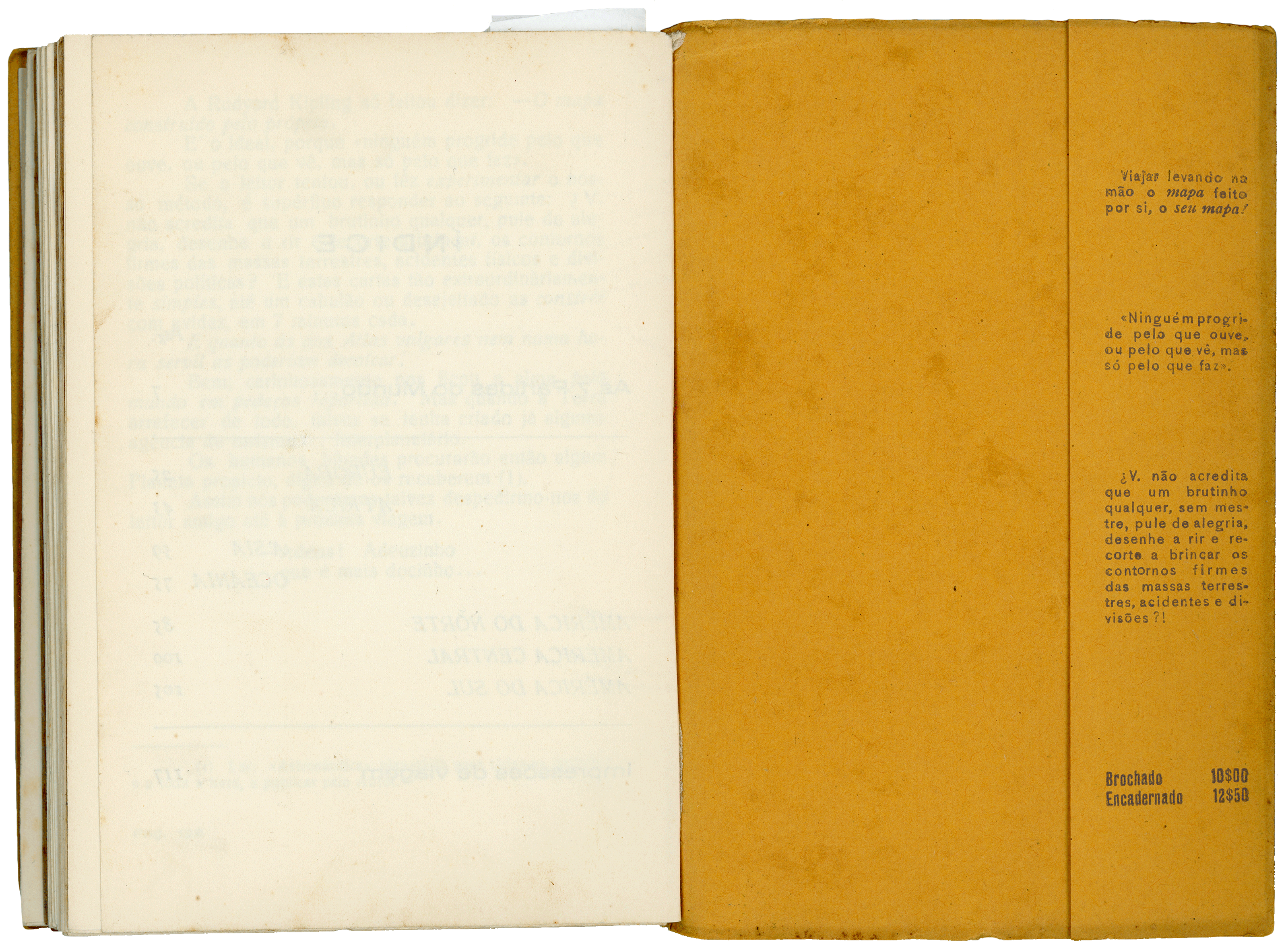
10$00 brochado / 12$50 encadernado
